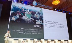
Indonesia Program Initiative on Maritime Observation and Analysis (Ina PRIMA)
- Murni Kemala Dewi
- 02 Mar 2017
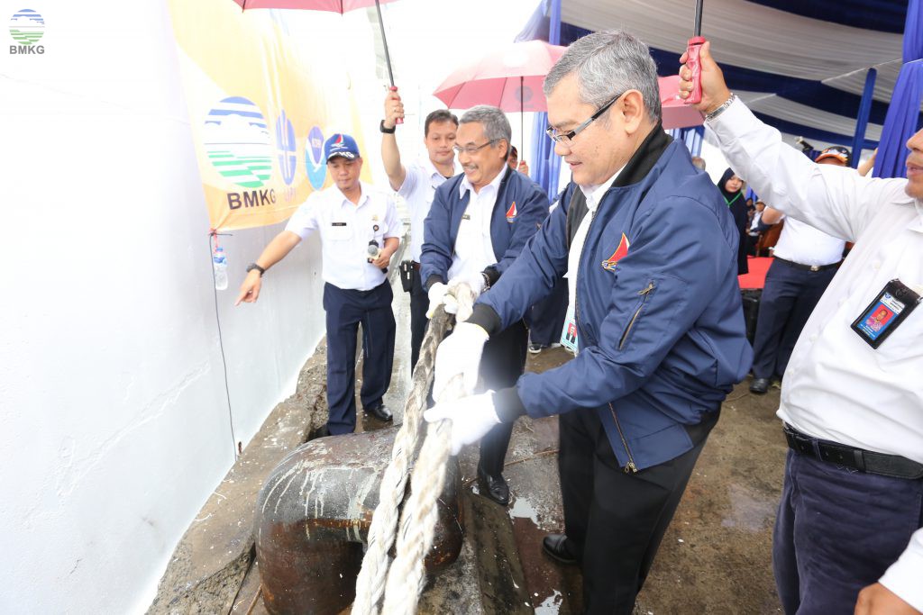
Jakarta/ On February 20th, 2017, in collaboration between Indonesia and America, represented by the Agency for Meteorology, Climatology and Geophysics of the Republic of Indonesia (BMKG), Indonesian Institute of Sciences (LIPI) and the National Oceanic and Atmospheric Administration (US-NOAA) held an imminent launch of the Indonesian Program Initiative on Maritime Observation and Analysis program (Ina PRIMA) using research vessel Baruna Jaya VIII-LIPI.
The main purpose of this program is to maintain the Research Moored Array for African-Asian-Australian Monsoon Analysis and Prediction (RAMA) buoy, observe the marine meteorology data, atmospheric, oceanography, and marine-geophysics observation, especially related to Pidie earthquake. The observation of this program divides in four parts:
- Marine Meteorology Observation, to see the air-sea interaction, such as diurnal variation, surface flux (related to MJO and IOD phenomenon).
- Climate-Air Quality Observation, to observe the dynamics of planetary boundary layer.
- Oceanography Observation, to research the ocean heat content, ocean stratification (related to MJO and IOD phenomenon)
- Geophysics Observation, to observe the deformation of bottom-sea related to Pidie Jaya earthquake.
This program is also important to observe the fracture pattern to make the bathymetric mapping and improve the accuracy and validation for marine weather prediction.
Director General of BMKG, Dr. Andi Eka Sakya said that every data that generated from these activities will be placed in a portal named Maritime Integrated Data System (MIDAS). MIDAS is national portal of marine climate data and information to provide integrated marine data.
Meanwhile, the Head of LIPI, Prof. Dr.Iskandar Zulkarnain, emphases the importance of this expedition for the future of Indonesia maritime research development. Marine research is very important to fill the data gaps also the characteristics and water mass movement.
The expedition for this particular cruise, which includes 25 scientists and researchers (20 scientists from BMKG, 2 scientists from LIPI, and 3 scientists from universities in Indonesia such as ITB, IPB and University of Diponegoro) and 3 from expertise NOAA, will take place from Feb 20 to March 16, 2017. The routes started from Muara Baru (Jakarta), Indian Ocean, Sabang, Pidie, Malaka Strait, and back to Jakarta. In Sabang, there will be one day workshop and an open ship event for public.
Related Posts

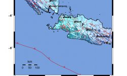
Latest Earthquake
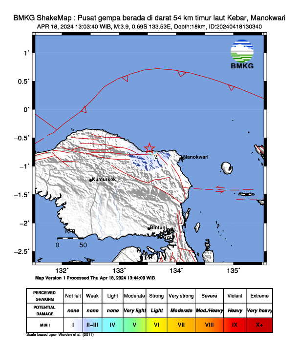
- 18 April 2024, 13:03:40 WIB
- 3.9
- 18 km
- 0.69 LS - 133.53 BT
- Pusat gempa berada di darat 54 km timur laut Kebar, Manokwari
- Felt (MMI Scale): II-III Kebar
- Read More →
- Pusat gempa berada di darat 54 km timur laut Kebar, Manokwari
- Felt (MMI Scale): II-III Kebar
- Read More →
Press Release